All images within this web site are copyrighted original works by David Schwaegler.


All images within this web site are copyrighted original works by David Schwaegler.
 |
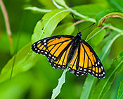
Fauna (27 images) |
|---|---|
 |
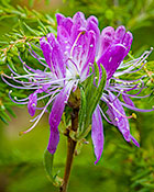
Flora (125 images) |
 |
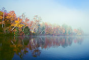
Landscape and Miscellaneous (88 images) |
| Acadia National Park | Ellsworth, ME | On Mt. Desert Island 15 miles south of Ellsworth on ME 3. You can cross over to the island on a causeway. |
| Along Maine Route 9 | Washington County, ME | Along ME route 9 northeast of Wesley |
| Belfast Harbor Walk | Belfast, ME | Park in the small lot at the corner of Pierce and Water streets. |
| Coastal Maine Botanical Gardens | Boothbay, ME | Off of Barters Island Road. Directions on their website. |
| Little Wilson Pond | Turner, ME | Along Maine 4 bordering the cities of Lewiston and Auburn |
| Brock Farm Road | Piermont, NH | From the junction of NH 10 and 25c in Piermont go west 1.2 miles to River Road. Turn right and go 2.2 miles to Brock Farm Road. Conservation area is beyond the end of the road on private property. |
| Kancamagus Highway | Lincoln, NH | NH 112 Extends from Lincoln in the west to Conway in the east. |
| Native Plant Discovery | Orford, NH | Along Indian Pond Rd between NH 25 A and 25 C |
| Quincy Bog | Rumney, NH | From Plymouth go west on NH 25 to Rumney then north (right) on Main to Quincy Rd then east (right) to Quincy Bog Rd then north (left) to parking area. |
| White Mountains of New Hampshire | Sugar Hill, NH | Northern New Hampshire |
| Pine Mountain Wildlife Management Area | East Corinth, VT | East of Powder Spring Rd. North of East Corinth. |
| US Highway 2 in Vermont | Montpelier, VT | Highway to from Montpelier to North Concord |
| Vermont Institute of Natural Science (VINS) | Quechee, VT | Just west of the Quechee Gorge State Park on US 4. |
| Victory Basin Wildlife Management Area | North Concord, VT | In North Concord turn left onto Victory Road from US 2. It becomes River Road and bisects the preserve. |
| Willoughby State Forest | West Burke, VT | North of West Burke between US 5 and VT 5a. |